Trailhead coordinates for both mines
36°07.765′ N 116°10.426′ W
36.129417, -116.173780
Nopah Group Claim area No. 1 : Mary-Ann Mine, other pervious names (approximate)
36°07.626′ N -116°09.318′ W
36.12710, -116.15530
Nopah Group Claim area No. 2
36.12305, -116.15919 (MRDS approximate)
36°07.38300′, -116°09.55140′
More workings listed than the other claim area, I have not explored this area. This has potential for better rocks.
—
View this post on InstagramMost BLM and USFS WA’s are open for casual, non commercial collecting unless that area’s resource management plan prohibits it. #collecting#exploring#blm#usfs#geology#geologyrocks #rocks #quartz #rockhounding#minerals
—
View this post on InstagramNorth Nopah. Getting a little warm today in the Mojave desert. #geology #roadtrip #rockhound #mining#inyocounty#nopahwildernessarea#pahrump#rocks #explore #getoutside#hiking
—
View this post on InstagramOne of two old outbuildings I came across at the old Mary Ann Mine site. Production was only three “carloads” of lead and zinc ore back around 1925. Maybe two years or less of life. Swipe for some still photos. #inyocounty #mines#history#geology#geologyrocks #rocks#minersls#mohavedesert #explore#
—
View this post on InstagramSecond outbuilding. Better condition. About five feet high. All old buildings lose their roof. Swipe for two more photos. #nopah#explore#geologistonboard #g#geology #geologyrocks #inyocounty #pahrump#desert#mojave#
—
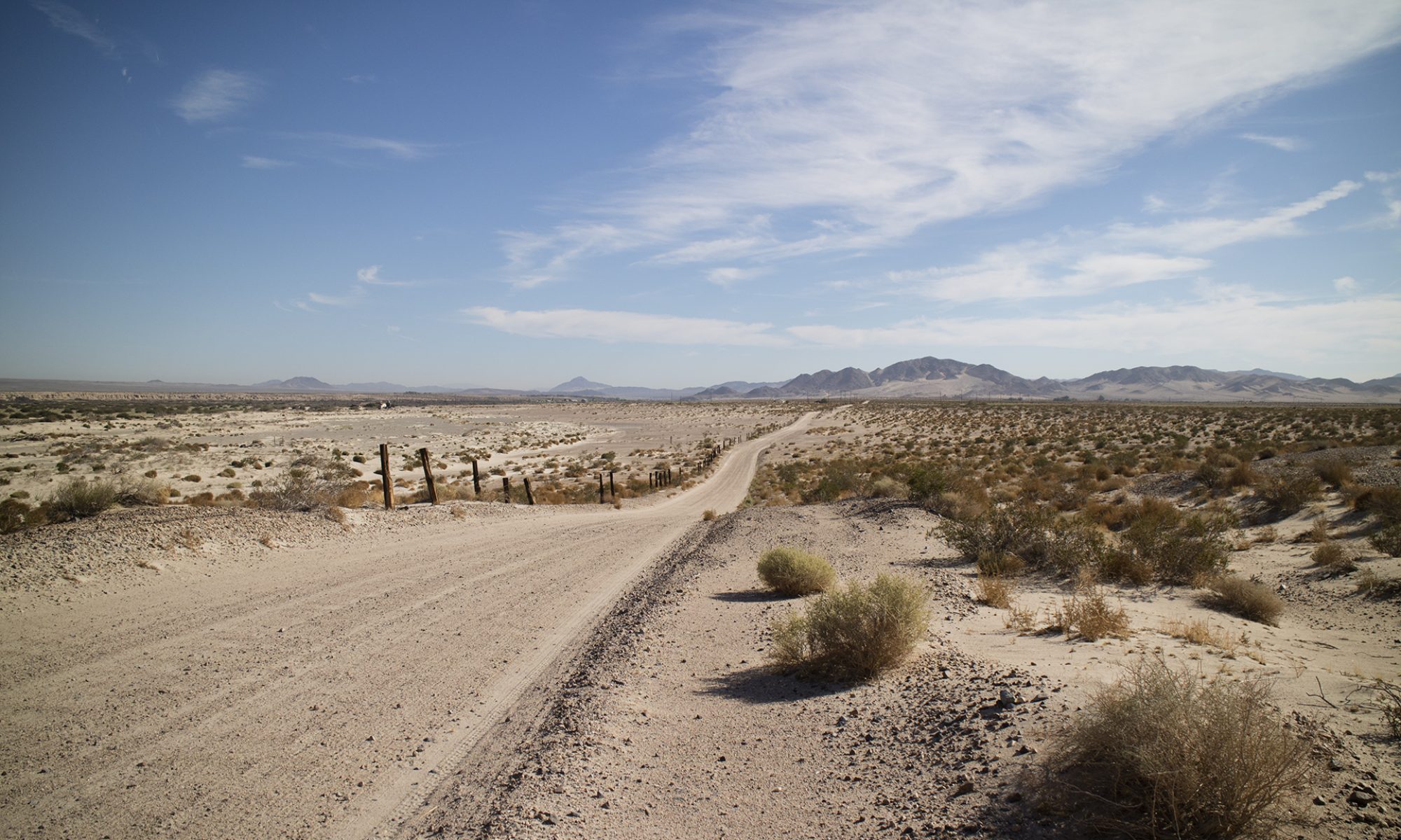
View this post on InstagramLooking east to Nevada from the North Nopah Range WA. #inyocounty#roadtrip #quartz #rocks#geology #geologyrocks #rockhounding#exploremore #wilderness#mojavedesert#desert#mines
—
View this post on InstagramDifferent photos of the canyon the Mary Ann Mine was in. The ore was in a breccia pipe, a breccia being a rock made of other rock fragments. Dolomite fragments in a green matrix. Found little green although some greenish quartz was here and there. #geologistonboard #geology #rockhound #hiking #quartz #roadtrip #explore#mojave#mojave desert #inyocounty#pahrump#rocks#mines#history