Barnett Prospect
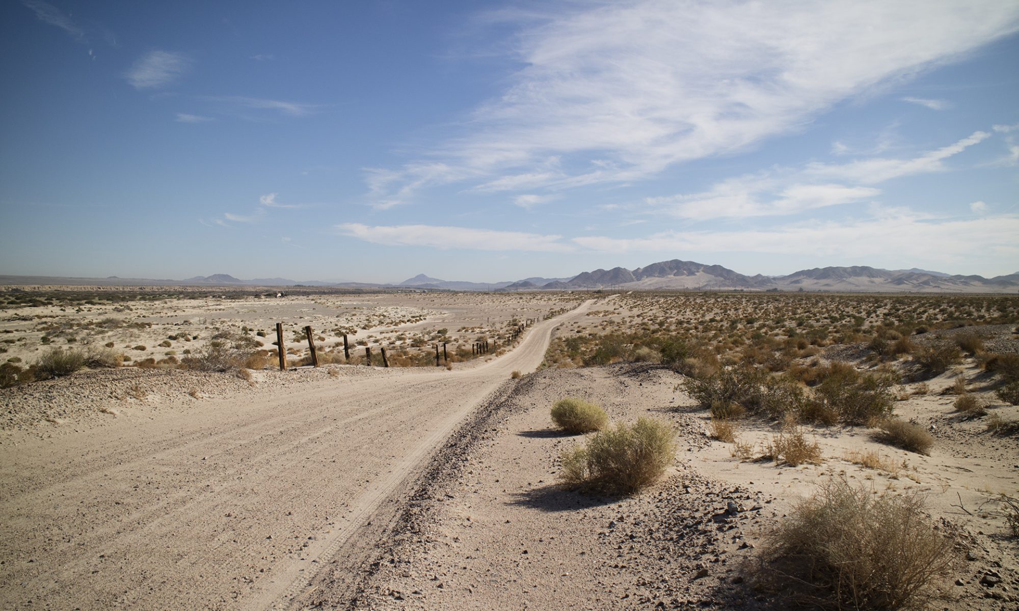
The Barnett prospect is located on top of a precipitous ridge in the northern part of the study area
approximately 2.5 mi south of the Nancy Ann mine (fig. 2). The prospect is accessible by a foot trail from
Chicago Valley. A trench was dug in a 2-ft-thick gossan zone of dark-red to brown limonite, geothite, and remnant
galena in massive Ely Springs Dolomite. A grab sample collected from a 1-ton-stockpile of galenabearing gossan material contained 31 percent lead and 19.75 oz/ton silver. However, chip samples collected across the gossan zone contained only 0.05 to 2.6percent lead and 0.02 to 0.22 oz/ton silver.
Two pits and a 29-ft crosscut adit were found in a dark-red clay bed sandwiched between massivedolomite beds. The clay bed is as much as 6 in. thick and was traced for 80 ft along strike. Samples of the clay contained 0.15 to 7.8 percent lead and 0.02 to 0.44 oz/ton silver. Because high concentrations of silver and lead in a clay bed are unusual, it deserves further study. The bed displays no shearing or discordance to indicate that it is a fault gouge, and does not show any evidence of hydrothermal alteration. The identified silver and lead occurrences are too small to constitute a resource.
Mineral Resources of the Nopah Range Wilderness Study Area, Inyo County, California
Armstrong, Smith and Kennedy, USGS, Sabine and Mayerle, U.S. Bureau of Mines
1987
—
View this post on InstagramBig wind. Goal was to get to the base of the hills and then identify the trail used to get to the prospect. The USGS, in providing coordinates, often centers you in the middle of the claim, not necessarily the point of interest. #geology#geography#rocks#minerals#wilderness#inyocounty#mojavedesert#explore
—
View this post on InstagramDid the audio over again because of the strong wind. I have seen a road to the west that runs to this general direction. No vehicular traffic in the WA but it was probably what the miners used before heading over on foot to what is described as a precipitous ridge. #mining#mojave#mines#prospects#exploratorydiggings#desert#inyocounty#geology#roadtrip#explore
—
View this post on InstagramCutting material! Who knew? This is why we get outside. Never mind the elements. Or snakes. Or cactus. Get outside and find stuff. I misspoke about crystals. Most likely this is fractured limestone whose cracks were filled in by the white mineral. I will attempt to polish. #geology #roadtrip #hiking #rocks#lapidary#mojave#desert#inyocounty#explore#getoutside#