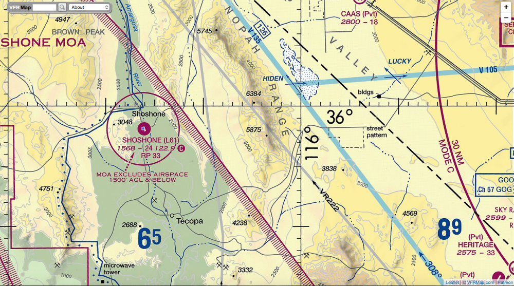
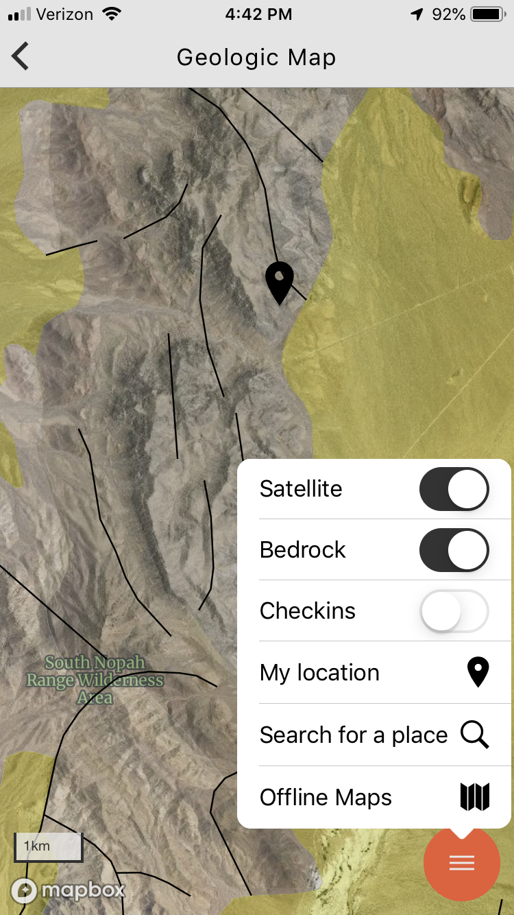
Back to the Nopah Range. I was at Emigrant Pass on the Old Spanish Trail in Inyo County, California. Flew my drone for the first time in two years. Forgot the controls. Soft crash landing. Military controlled air space? It might be due to China Lake in Riverside County. That’s a Naval Air Station. But at least fity miles away. I spent some time later trying to read this map:
I thought land maps were complicated! Here are two versions of my doomed flight.
The first is video that Dji did automatically with their online editing footage. They added sound as well. Which means they probably compressed the file and then Youtube compressed it some more.
The second video is the original raw footage, looking dark on a dreary day.
Both videos are pixelated but the original shows well on my monitor. I bought some video editing software yesterday to see how it might lighten the darkness in the film. Some other stills from the North Nopah WA also below.
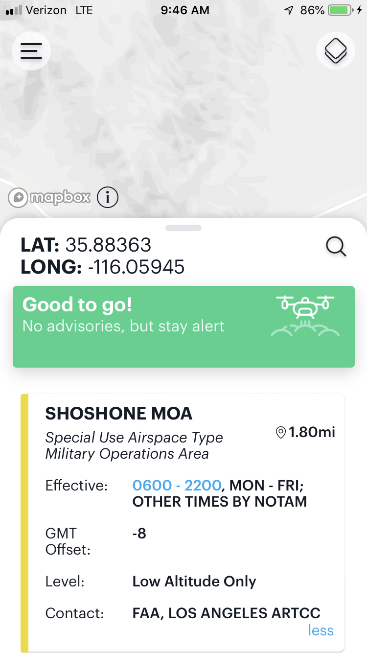
Watch for NOTAMs. Notice to Airmen. Real pilots and us drone operators.
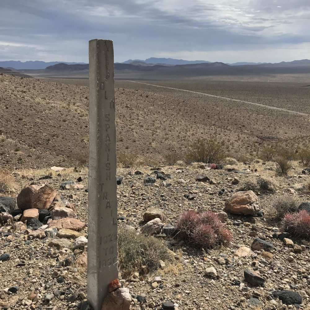
A thin granite marker from the early 1920’s stands watch over the Old Spanish Trail in the background, now paved and not marked by the ruts of wagon wheels.
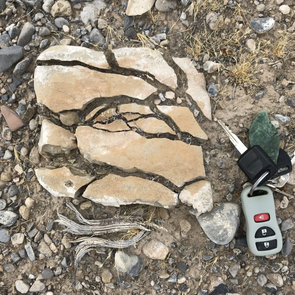
Broken yet intact. Why I don’t have to find gemstones or gold to love rockhounding. As my geologist friend RC said, “This is where sand comes from!”

Thought this was chert but it is not. More like deeply stained shale. Leached out from the soil mound uphill. Two hundred yards from here is shale in road cuts which yield partial trilobite specimens. That shale cleaves into shingle like pieces with a brick hammer. The stuff here simply falls apart into powder.

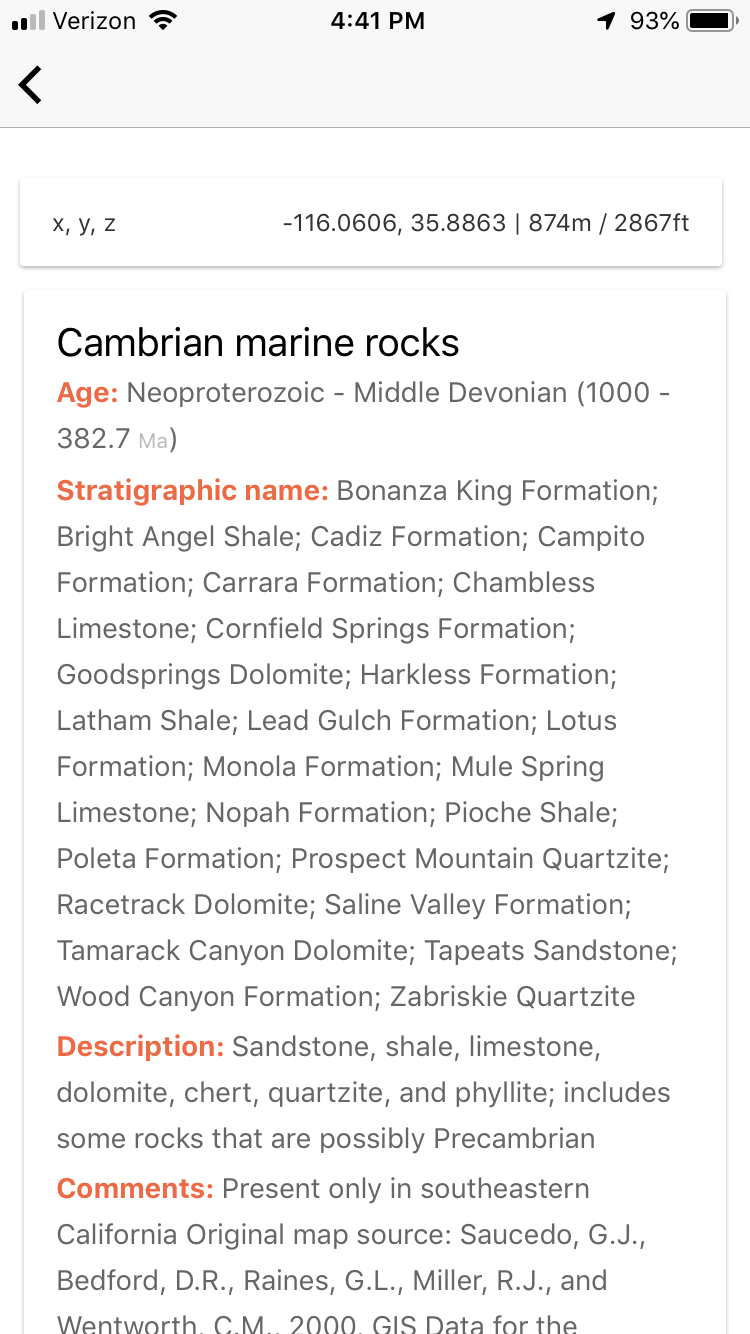
Just because it is black and craggy doesn’t mean that it is volcanic. These mountains fooled me when I first came here. These are actually limestone boulders, the entire area is made up of marine rocks. Check Macrostrat.org for the geology in any given area. Here’s a screenshot from their app.
How do you know if something is igneous? Generally, nothing igneous or volcanic will react to a bit of acid. Unless the rock has calcite encrusted on it. Which is everywhere in the southwest. Test different parts of a rock to be sure. Never approach a geologist with an ID question if you haven’t done an acid test. That’s the first test they will expect you to have done.
Here’s a photo of some acid bottles I made up for field work. 10% hydrochloric acid although you can use toilet bowl cleaning fluid in a pinch if it has HCI. That will probably be blue and not clear. A dropper bottle contained inside another bottle is a great way to carry an acid bottle anywhere.

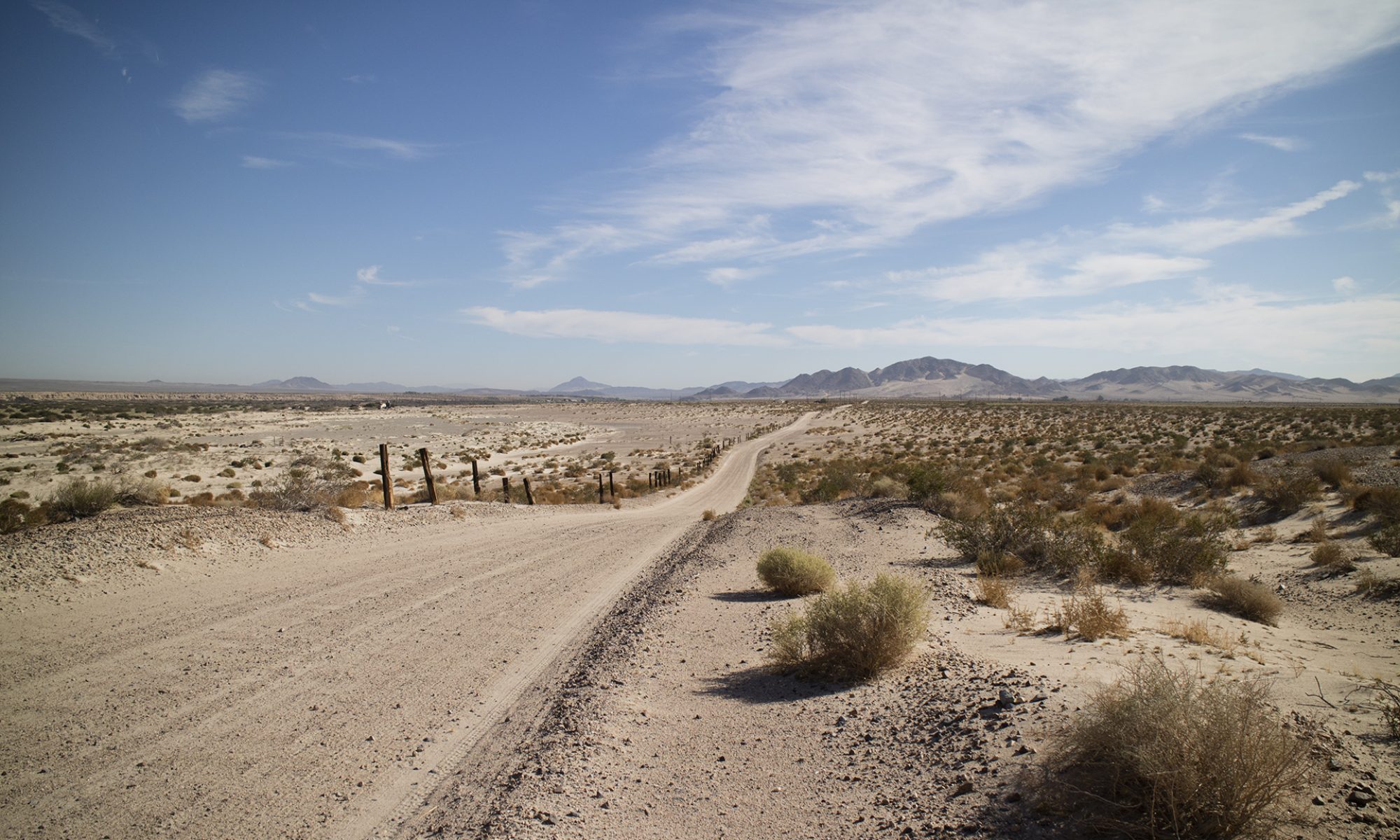
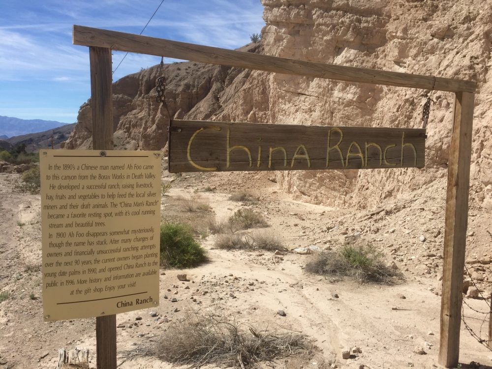
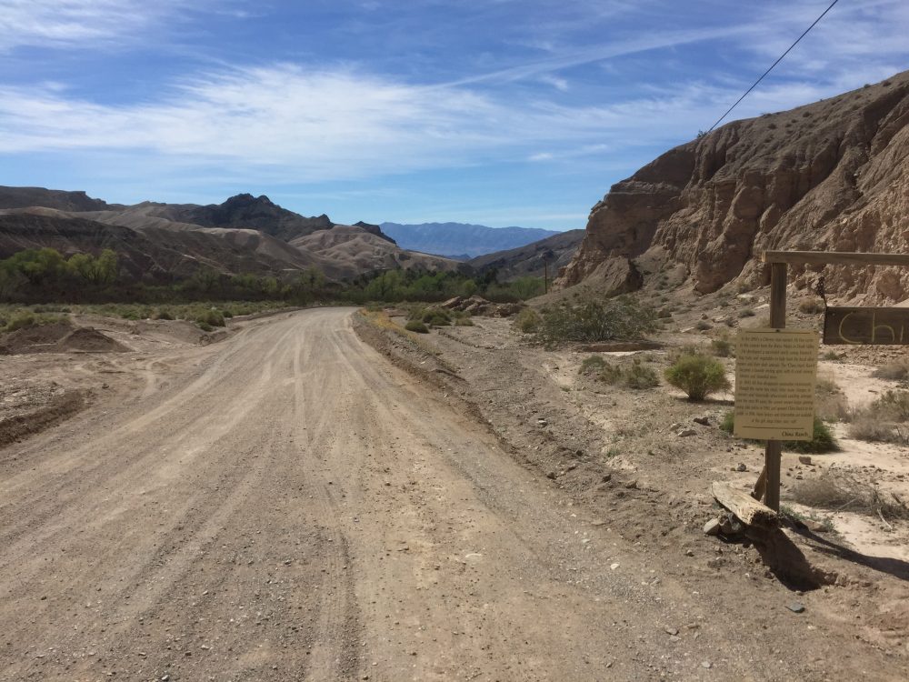
Here’s the overall collecting area. This is about twenty minutes from Tecopa, California which has a must stop, the China Ranch Date Farm. They let you wander through their commercial palm tree orchard. And they serve date shakes. Really. Be prepared to wait in line for those.
You have arrived at the ranch.
And a view of the ranch in the distance. Most vehicles will have no problem with this road.
——
Follow me on Instagram: tgfarley
https://www.instagram.com/tgfarley/