Your complimentary summer desert rain footage. #rain#mojave#desert#clarkcounty#roadtrip
A post shared by Tom Farley (@tgfarley) on
—
View this post on Instagram
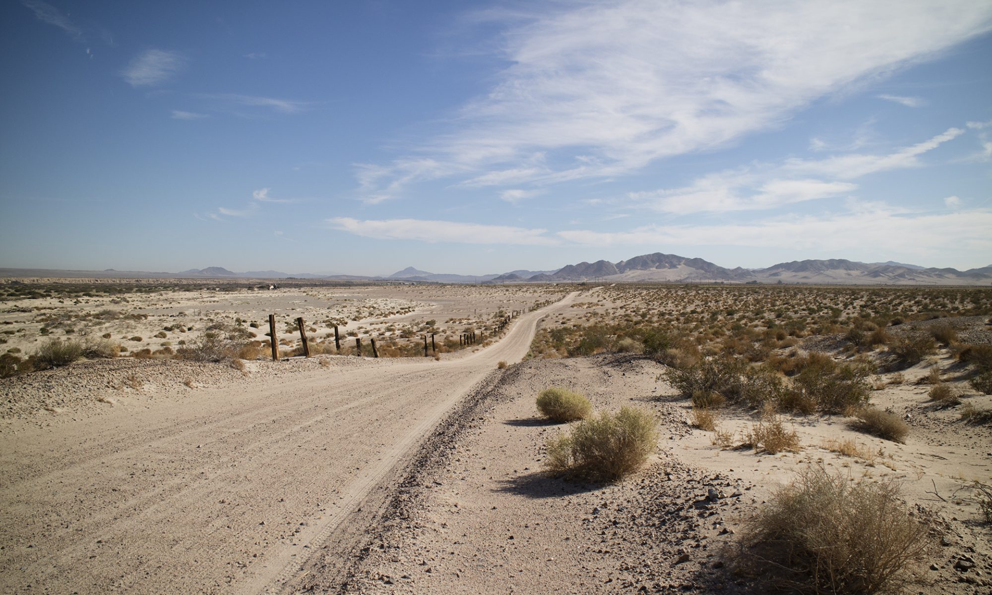
Old Spanish Trail Marker on Sandy Valley Road off of HWY 160. These are close or near to highways. The one at the top of Emigrant Pass in the south Nopah is fully one mile off of Tecopa Road by foot trail. #nopah#clarkcounty#roadtrip#oldspanishtrail #history#
Some of the drive in to the China Ranch Date Farm. Dash cam failed to record what may have been a gray fox crossing the road. I’ll get that camera figured out today. #chinaranchdatefarm #tecopa#geology roadtrip#inyocounty#nopahrange#roadtrip
A post shared by Tom Farley (@tgfarley) on
—
View this post on Instagram
Out in Inyo County, California today. This is a working date palm farm with a gift shop and a kitchen that makes baked goods and date shakes. Only a few miles from Immigrant a Pass in the South Nopah Range. #inyocounty#roadtrip#palmtrees#desertoasis #oasis#mojavedesert#tecopa#deathvalley
A post shared by Tom Farley (@tgfarley) on
—
View this post on Instagram
Gift shop at the farm. The parking lot is a trailhead for many hikes. We were the only ones there during our visit, the ranch is usually bustling with customers. #roadtrip#palmtrees#oasis#desert#armagosavalley #tecopa#deathvalley
A post shared by Tom Farley (@tgfarley) on
—
View this post on Instagram
At the Museum. Open after an 11 week shutdown ordered by our beloved governor. Some hands on exhibits still not operating, again, by order of a state government that knows what is best for us. #pahrump #roadtrip#nevada#rocks#yuccamountainproject #radiation#nyecounty#history#
A post shared by Tom Farley (@tgfarley) on
—
View this post on Instagram
Tuff. Learn it, live it, love it. #geology #roadtrip #geology rocks#volcanics #pahrump#museums#nyecounty#nevada#yuccamountainproject #rocks #tuff#
A post shared by Tom Farley (@tgfarley) on
—
View this post on Instagram
The quixotic town of Blue Diamond, named after the hill of the same name. Gypsum mine nearby. At the far south end of the Red Rock National Conservation Area. #gypsum#clarkcounty#bluediamondnevada #roadtrip
Just finished uploading a file to Wikimedia Commons showing desert pavement. It’s reworked footage from my prospecting desert pavements video.
In this video, I remove all narration and free certain frames along the way. I think this works best, leaving a description of desert pavement up to educators and students.
There are many nice still photos of desert pavement from around the world at Wikimedia Commons but no video.
—
Many devices can’t play that file format. So, here is the same footage at Vimeo, unfortunately, more compressed. Downloading any video file always and then playing it always produces the best results.
— https://www.instagram.com/tgfarley/ Follow me on Instagram: tgfarley
I didn’t mention State Parks in my book very much because they don’t allow collecting. Still, I visited several and took many photographs that had no home. As I have said in previous posts, I am uploading the better ones to Wikimedia.
This one turned out well. A couple and their dog look down into the signature feature of the park, the so called Fire Wave. It’s a sandstone bowl, a confusion of swirls and layers and depressions. Like a crazy skate park might look if Fred Flintstone designed it.
This image would be better cropped, so that the couple are nearer. I didn’t do that, letting a user make their own decisions. Any editor wants the full image, as many pixels as possible. The original is 6,000 by 4,000 pixels, good enough for any magazine printing and even some decent enlargements.
If Wikimedia allowed posting RAW files then I would do that.
Here’s a 1,000 pixel size image at this site and then there is a link to the Wikimedia page where you can see that it is in the public domain and choose from a variety of download sizes.