Metsker’s Maps

I’ve been bothered for years that I don’t have the time or patience to develop a course or a series of videos explaining the Public Land Survey System or PLSS.  It is a living antique used everyday.

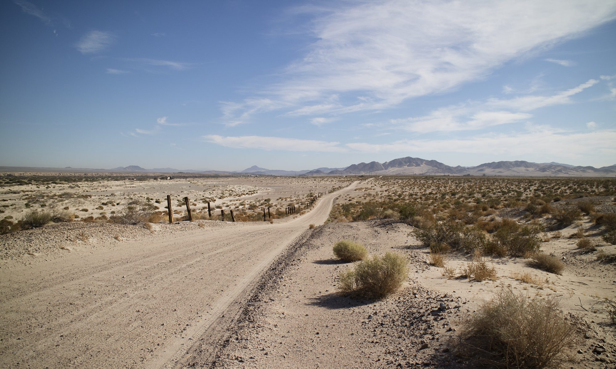
This country was never laid out by latitude and longitude, something that would make it easy today to tell where a claim or an old townsite is. Instead, we file a claim in 2020 using elements like meridians, townships, ranges, sections, and so on.

Variously called land descriptions, legal descriptions, and a host of others, the PLSS is a survey system used to locate or delineate a piece of real property. Everything about the PLSS is obscure or arcane.

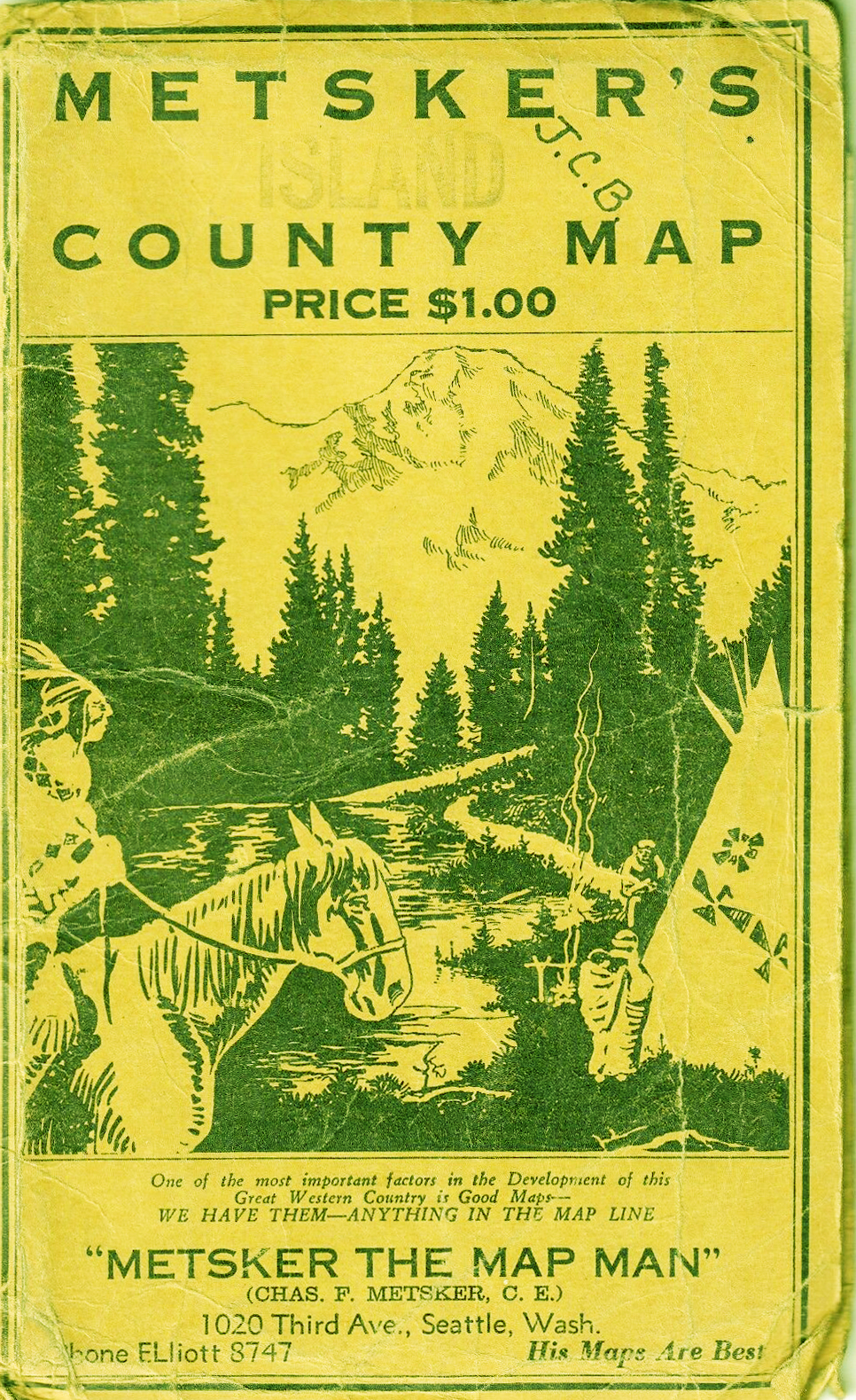
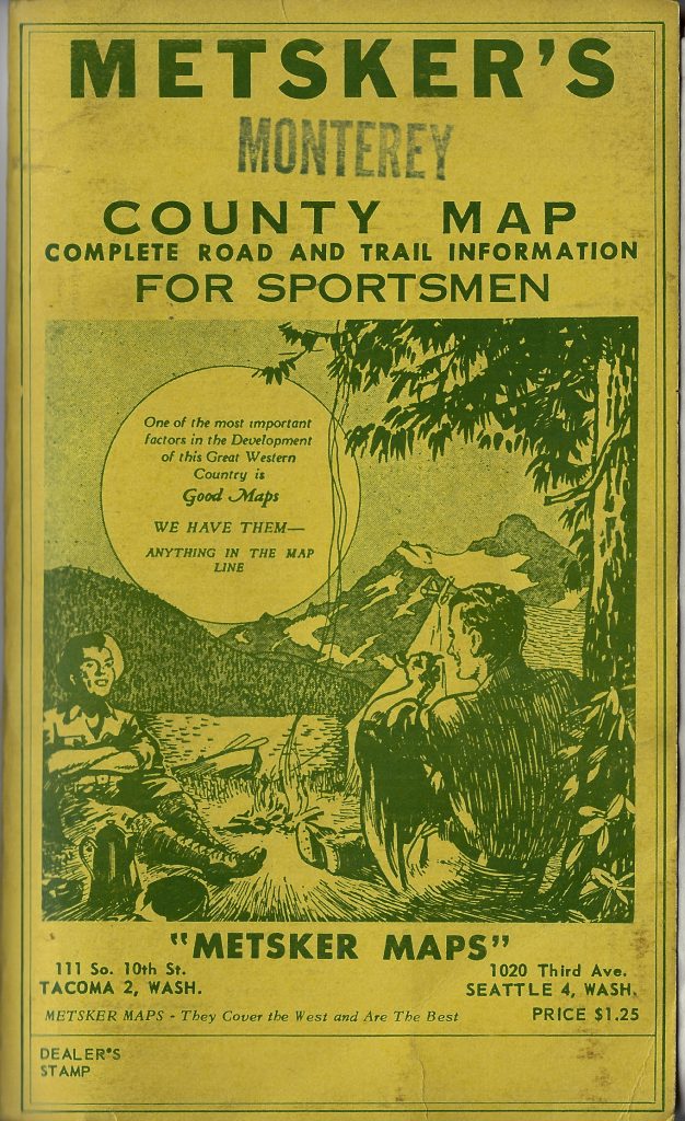
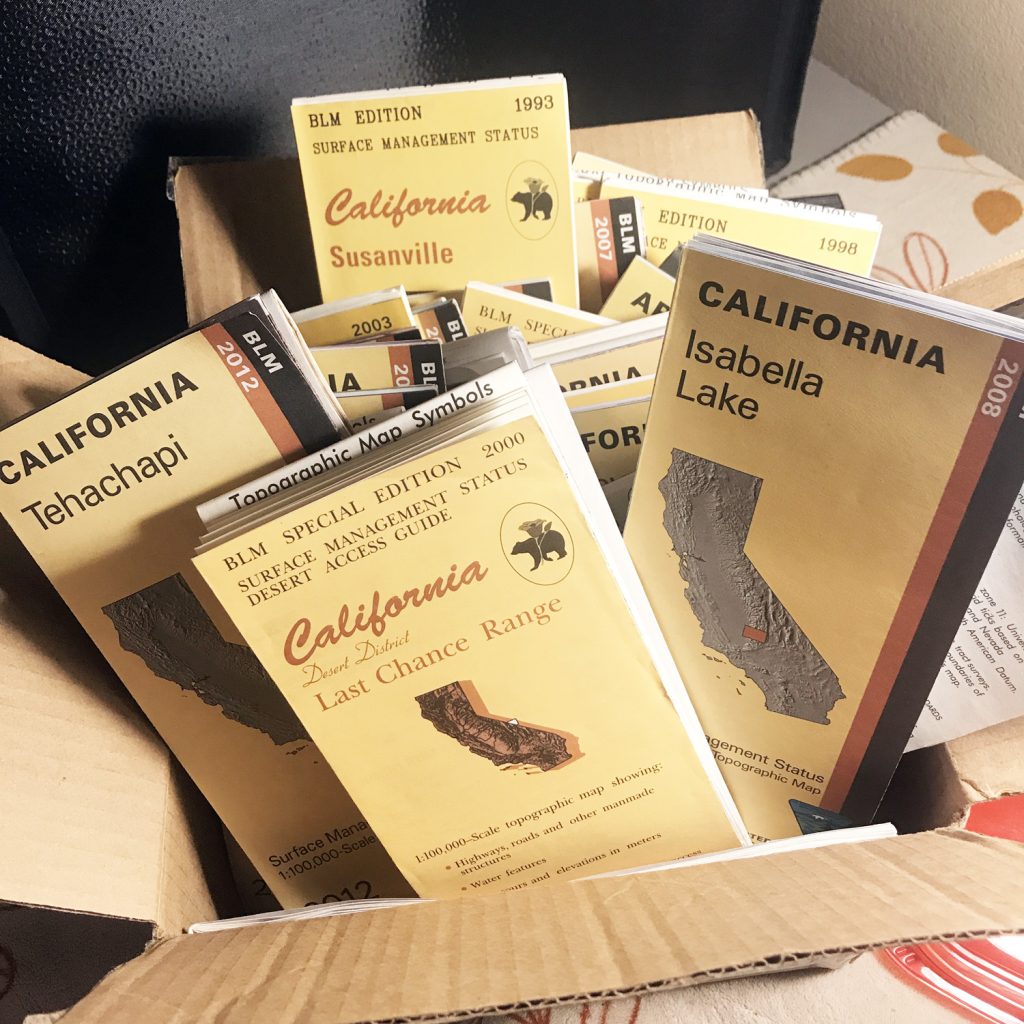
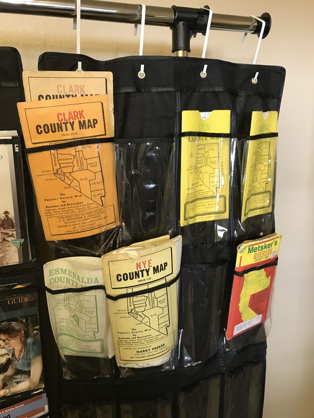
While you are reading up on the subject, my best suggestion is to get a few used Metsker’s Maps. They show all of the PLSS elements at work, often on heavy paper with distinct blue lines. Find them on eBay.

These maps were made for outdoorsmen who camped, hiked, and prospected old school. A compass, a backup compass, and good maps. Topos were and are essential as well, but you also have to know where you are in survey sense, not just a terrain sense.

I do have a lot of materials developed on the PLSS but it is such a burden of time that I simply can’t get to it right now.

Township Section Numbering in the PLSS

A very confusing part of the public land survey system is how sections are numbered in townships. This video tries to explain the odd numbering system the PLSS employs.

Township Section Numbering in The PLSS from Thomas Farley on Vimeo.


Follow me on Instagram: tgfarley

https://www.instagram.com/tgfarley/

Map Videos Coming

I’ll take a stab at why certain hardcopy maps are still essential, providing a big picture view that a small screen cannot begin to give. For prospecting and traveling to new areas, maps like BLM’s Surface Status Management Maps (Status maps), still lead the way to new ground and new adventures.

Click on the link below if a video preview does not appear above:

https://www.patreon.com/posts/30384874

——

Follow me on Instagram: tgfarley

https://www.instagram.com/tgfarley/

Mapping It Out

I’ve moved from organizing my rocks and minerals to getting my maps and pamphlets together. Thought of this solution last night.

The black fiber-backed over the door organizers were $4.88 each at WalMart. The individual pockets normally hold shoes so multiple maps will not be a problem. The garment rack was $14.88. It has wheels!

The three door organizers span four feet and the top bar is at six feet.

Follow me on Instagram: tgfarley

https://www.instagram.com/tgfarley/