I’m documenting some different things at Wikimedia Commons for anyone to view or use.
Wikmedia Commons uses an odd video file format that may not play on your device. It’s called .webm. These videos open and operate reliably in the Firefox broswer, my iPad, but not my iPhone.
Editing or otherwise working with a Wikimedia Commons hosted video may prove fruitless unless you have a commercial converter. I use Movavi products for all of my video work. They are very cheap compared to anything Adobe and are far simpler to use.
— https://www.instagram.com/tgfarley/ Follow me on Instagram: tgfarley
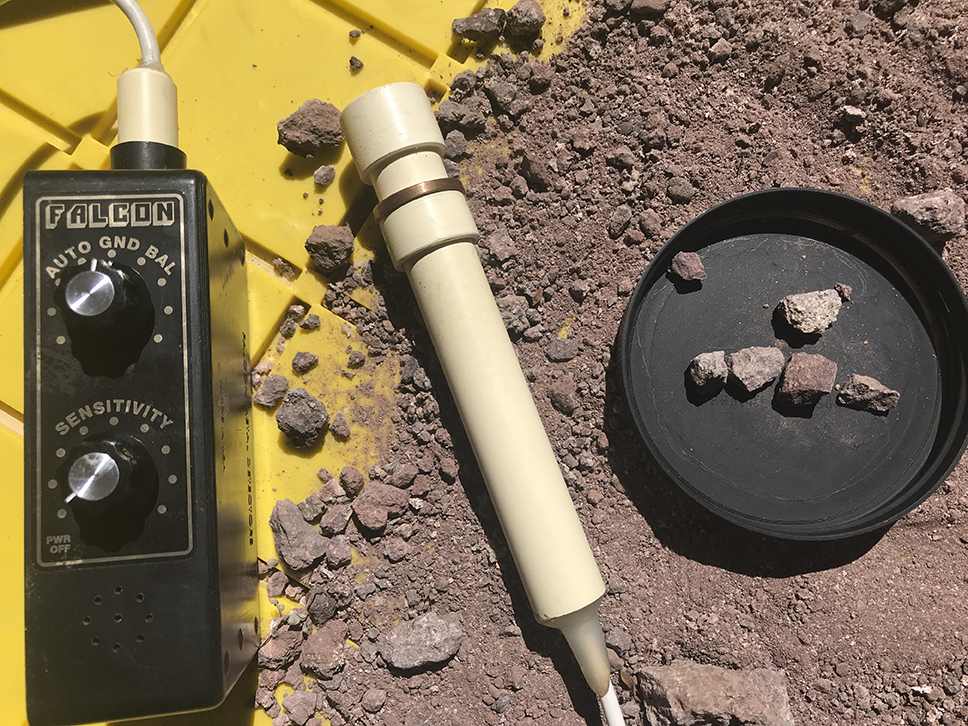
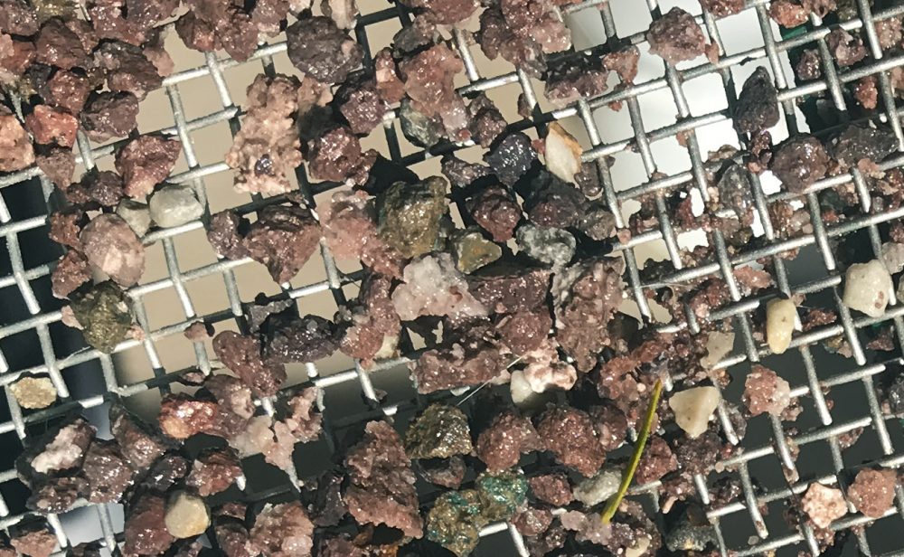
Crushed and panned out some of that grey colored volcanic rock I collected two days ago. Appears to be plain old basalt. Before doing anything with it, I ran my Falcon over the material, just to see if I could get lucky. I didn’t although several pieces were metallic, although ferrous. Hard to tell what they are and iron related pieces are common seemingly everywhere a prospector goes. — I crushed and panned out some rocks to fifty mesh, producing a few gold glinting specks in the pan. Always assume pyrite or mica. I had found mica on the hill on my last trip but pyrite I suppose was possible. One fleck did interest me because it appeared corrugated and granular, not flat like mica.
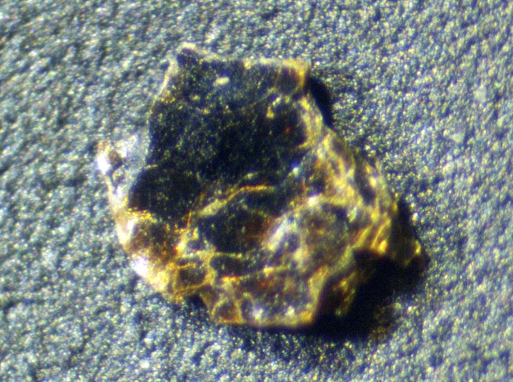
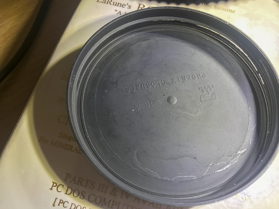
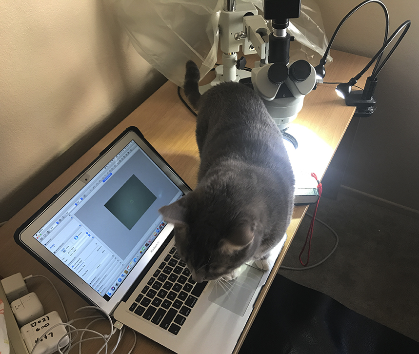
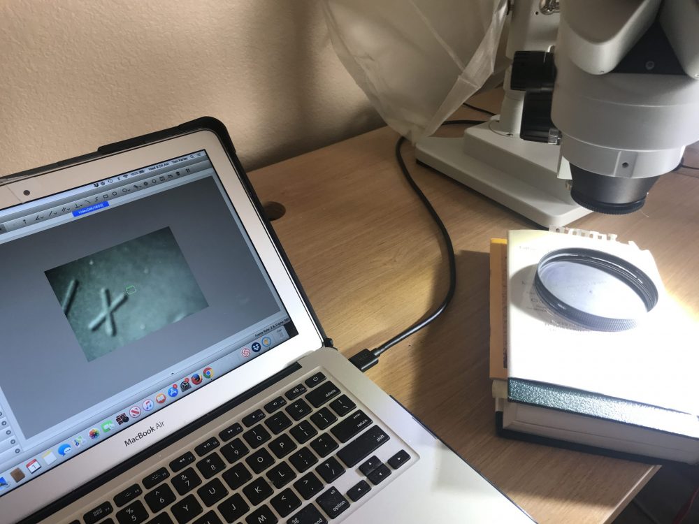
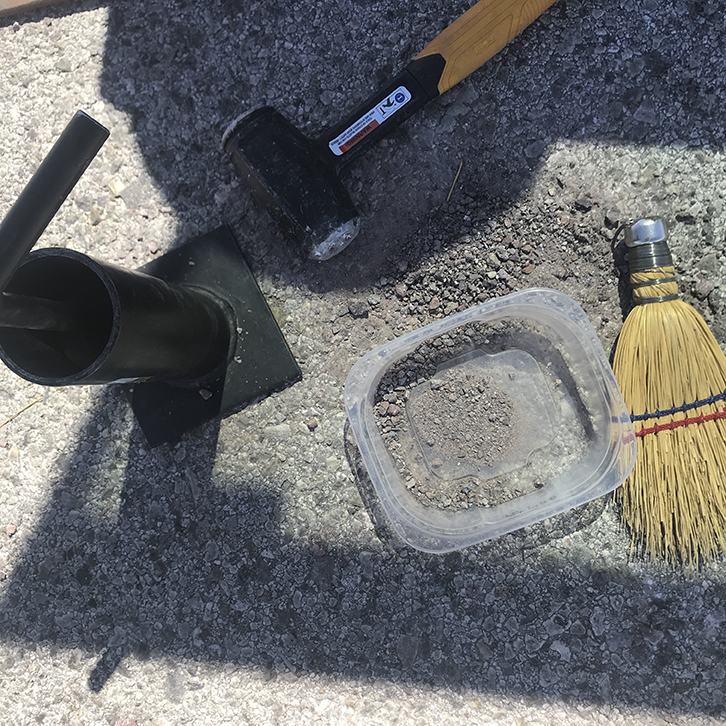
— The piece turned out to be mica, though. Didn’t need the scope. Looking at the piece on its side with a 10X loupe showed its platy character, that onion skin like texture that mica has, in the way it can be peeled back in sheets. I rendered the image below into monochrome. — By Pascal Terjan from London, United Kingdom - MicaUploaded by Magnus Manske, CC BY-SA 2.0, Link — I’m a total beginner with a microscope. I use this plastic lid with embossed lettering to orient me. I place a speck of something near some letter and I can then find the speck near the letter. Everything is reversed under my scope. Move something to the right and it goes to the left. — Chief problem with any microscope work is keeping stray animals from interfering. John Charles Fremont The Explorer was tremendously interested in my project and repeatedly tried to help. Alas, no help at all. I usually hook up the scope to my desktop computer since the microscope camera draws power from a USB port. I have not yet heard, however, my laptop’s fans come on. So, the draw must be low. My LED lights are powered by the mains, I wish they were dimmable. — Another view of my setup. Note the lettering of the lid on the computer screen that I mentioned before. This is a Chinese scope that I could afford. Not the best optics but an integrated digital camera. Without such an approach, you are forced to kludge together a scope with a digital camera that you might have, trying to get various lens adapters to work, finding the right lens to begin with, and so on. Nightmare. — Crushing out the bigger rocks on an empty road with my hand sledge and a small rock crusher. — Crushed pieces revealed a fair amount of quartz. That surprised me since none was visible before I broke the rocks down. But quartz is one of the biggest rock building minerals so perhaps this is not surprising. Perhaps this is not even basalt, rather something more granitic. — I will try to get back to the Pass tomorrow to get some samples from the gullies I mentioned in the last post I wrote at my personal writing site. Click here to go there.
https://thomasfarleyblog.com/2020/03/31/back-to-railroad-pass-clark-county-nevada/ — The Alunnite Mine, Alunite Mining District, Clark County, Nevada, USA (Link to Mindat.org) — Clark County image from the:
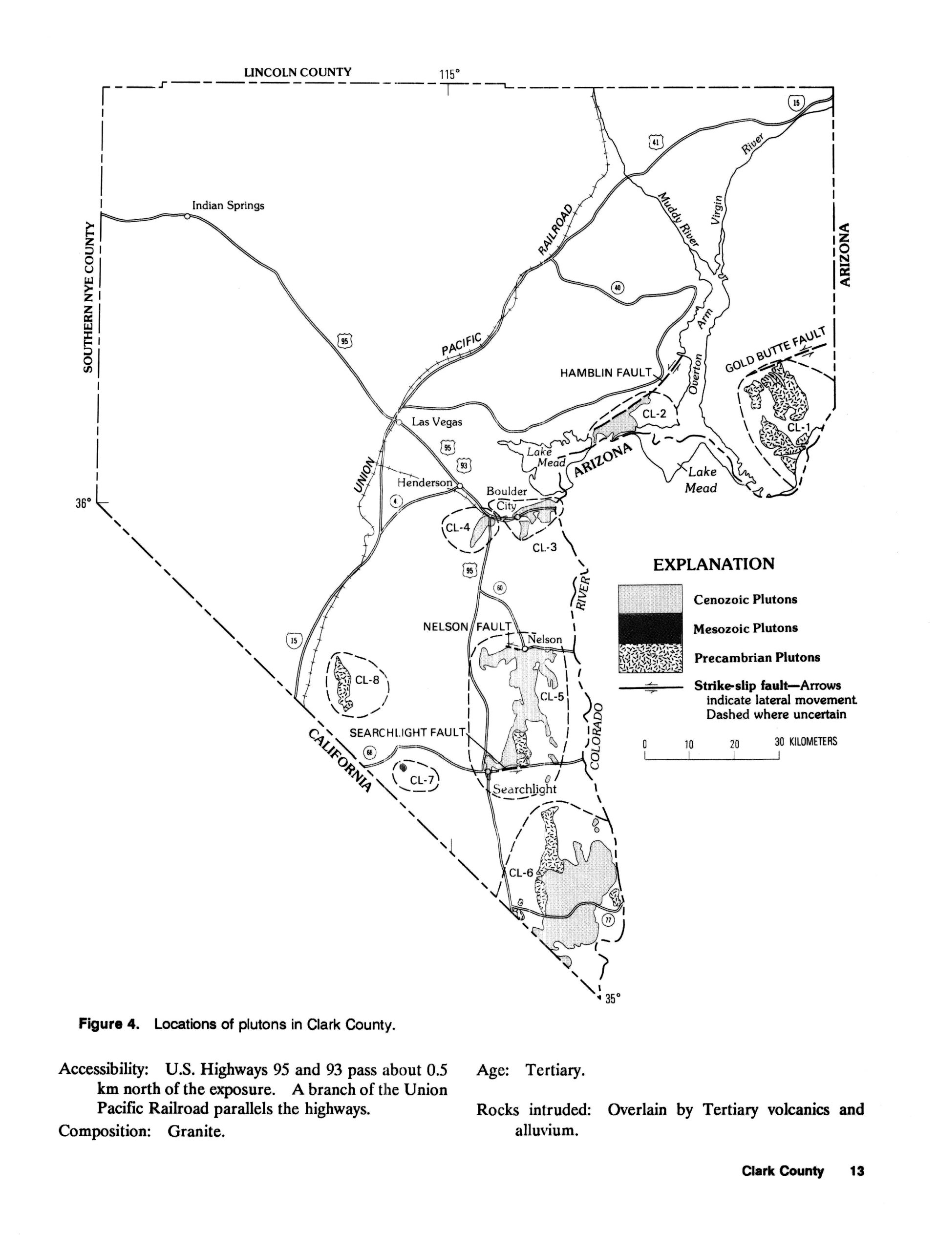
Index of Granitic Rock Masses in the State of Nevada By FLORIAN MALDONADO, RICHARD W. SPENGLER, W.F. HANNA, and G.L. DIXON Prepared in cooperation with the U.S. Department of Energy A compilation of data on 205 areas of exposed granitic rock masses in Nevada U.S. GEOLOGICAL SURVEY BULLETIN 1831 — — https://www.instagram.com/tgfarley/ Follow me on Instagram: tgfarley —
I hope you and yours are well and safe. Nevadans are still free to move about the state, even here in Las Vegas in Clark County. As such, I am getting out as much as I can while I can.
With many of you staying at home, I will be posting much more often. In addition to reporting on whatever day trips I take now, I will be posting photographs from my travels across the Southwest that I have taken over the last three years. They won’t be well processed or described in too much detail (this is the greatest time killer with photography) but they will be something interesting to look at. Until my server space runs out, these will be full size images that you can download and use in any way you like without a need to credit me or worry about copyright restrictions.
As far as my health, I badly wrenched my back two weeks ago while working on my truck. I took aspirin for two days and then admitted defeat by turning myself into an Emergency Room at three in the morning. Since then I have visited three more medical facilities, each time getting good care but also exposing myself to whatever might be in the air. It’s a bit worrisome.
My injury somehow produces pain from my lower back to the sole of my left foot. I have no pain for ninety percent of the time unless I move the wrong way. Walking around and staying active helps if I am careful. Somehow, I can still do cautious, slow hiking up hills without much discomfort. I don’t understand this. On the other hand, I stiffen up so much at night that when I get out of bed in the morning I am screaming in pain. Literally. I have an appointment with a physical therapist soon.
What else?
My book project is taking up too much of my time and patience. I am a perfectionist and I wanted this hardcopy book to look a certain way and to be in a spiral bound format to lay flat. Bringing this about has caused me to waste too much time indoors. As such, I will be roughly formatting the document and then releasing it for free, chapter by chapter. The Arizona chapter is 70 pages by itself. I don’t know whether I will put it out as a .pdf or a Word doc. I will be locking down the content in some form, my one restriction for the time and effort it has taken to produce this writing.
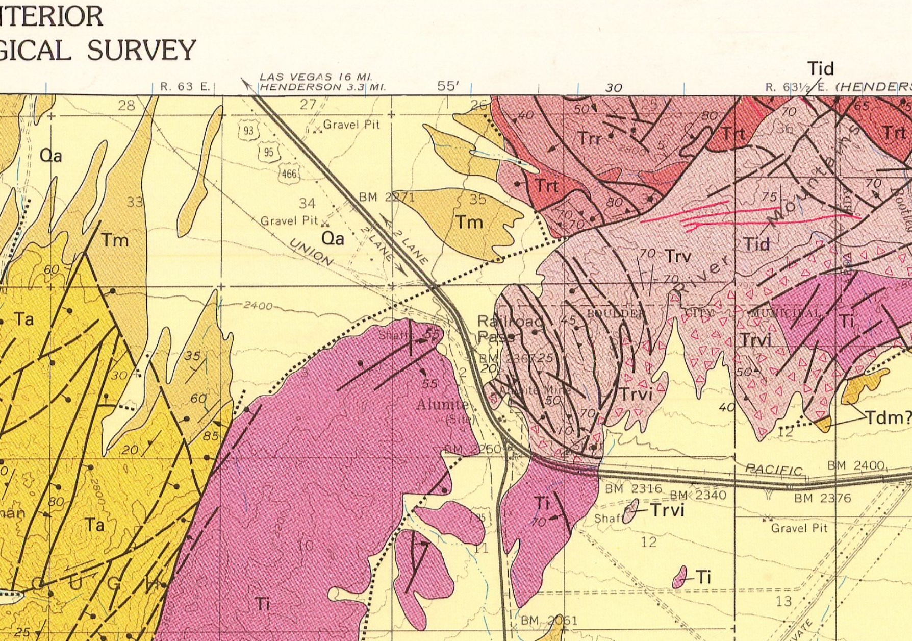
I’m going to try to get back to Railroad Pass today to try to source some andesite for a friend who is looking for it. Unfortunately, it may not be there, despite the simple geological map that I was using previously from Macrostrat.org. I pulled the official USGS geological map for the area and the real outcroppings of andesite are miles distant and off pavement. See the image below, “Ta” stands for andesite. Scattered occurrences of andesite may occur at Railroad Pass since maps cannot locate every rock. But again, andesite is quite a bit away and I shouldn’t go off pavement too far since I can no longer change a tire on my own. I also have other reasons to return to Mountain Pass which I will detail later.
I hope all of you are well and safe.
— This is Macrostrat’s simplified description of the hill I was on at Railroad Pass. —
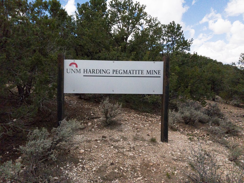
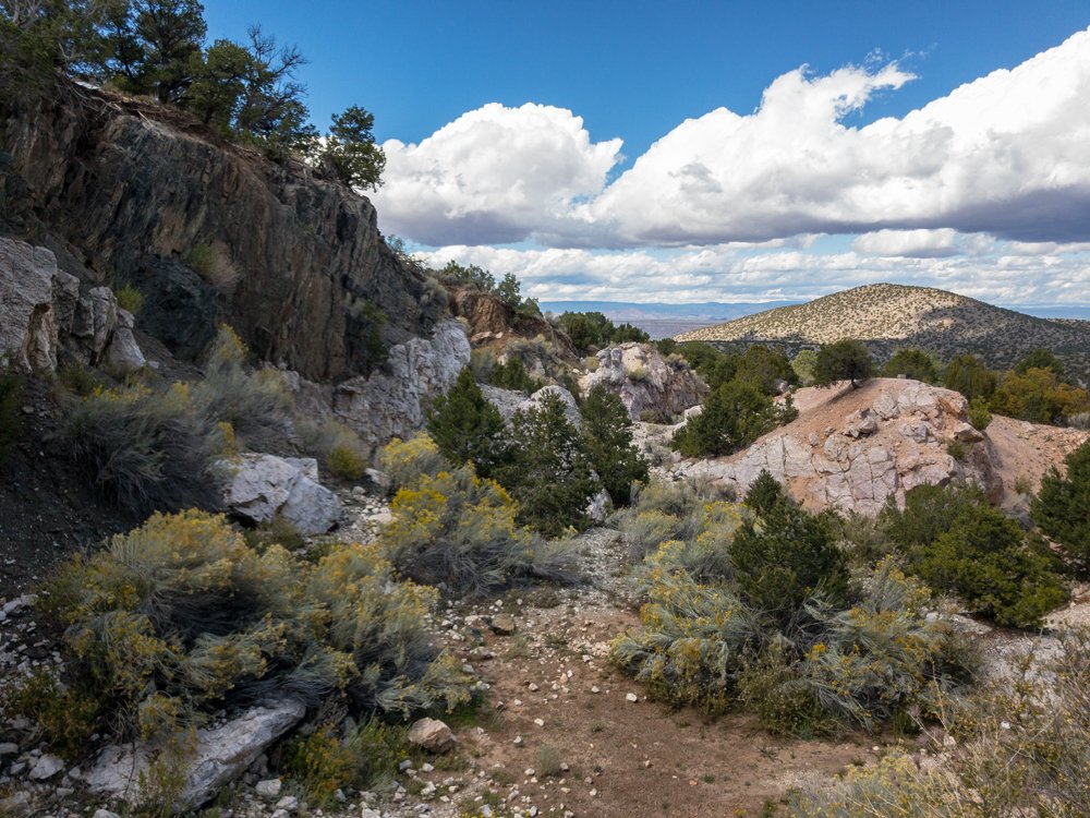
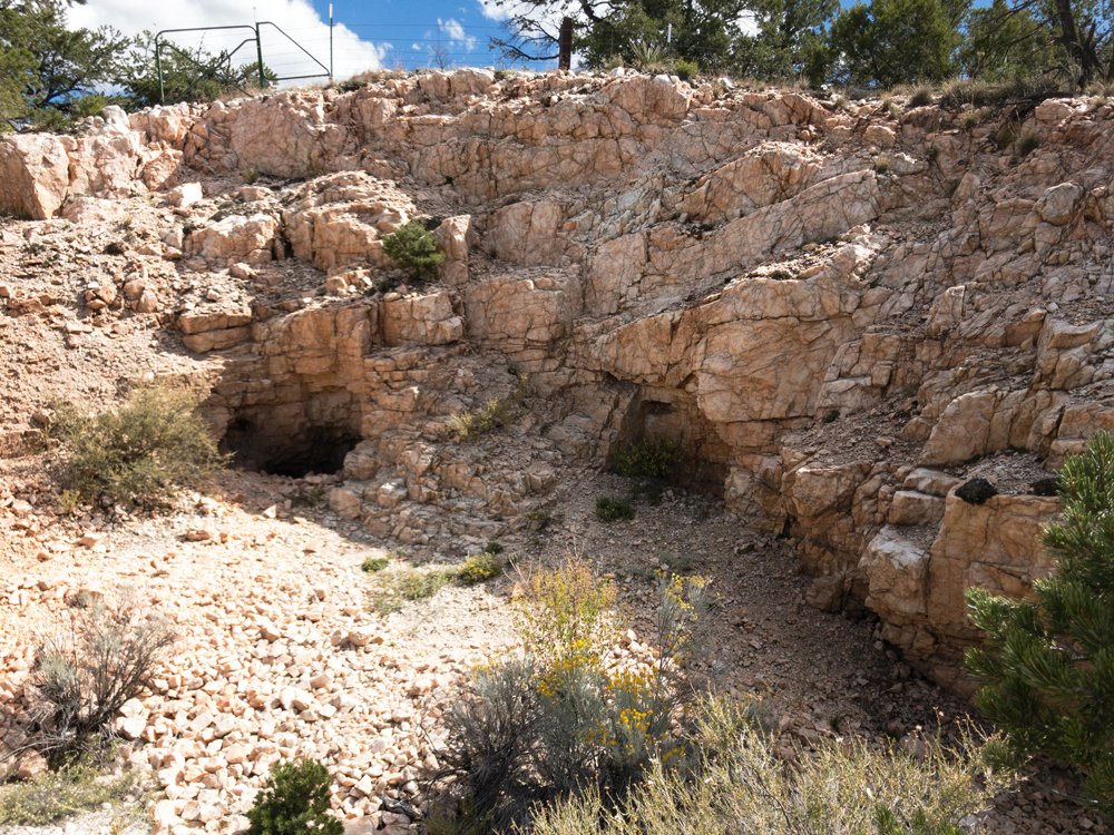
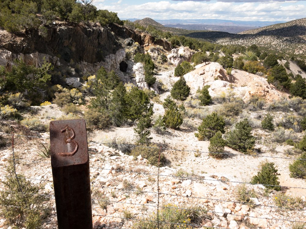
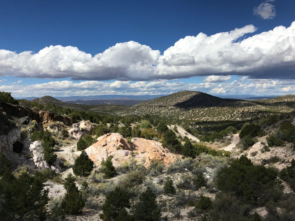
Harding Pegmatite Mine
Random photos of the Harding Pegmatite Mine in Taos County, New Mexico. Some of these might have been posted before, some of them may have been downsized at one time. Follow the link I just gave, many more details there. More pictures to come.
— — — — — — — — Visitation rights are now subject to change because of the virus. Check the University’s websites. And check my current places to visit travel list for attractions around the area. Subject to when we can all travel again, of course, and with the hope our rock shops have not gone out of business.
Harding Pegmatite Mine
Between Taos and Santa Fe along NM 75. Bring all your maps.
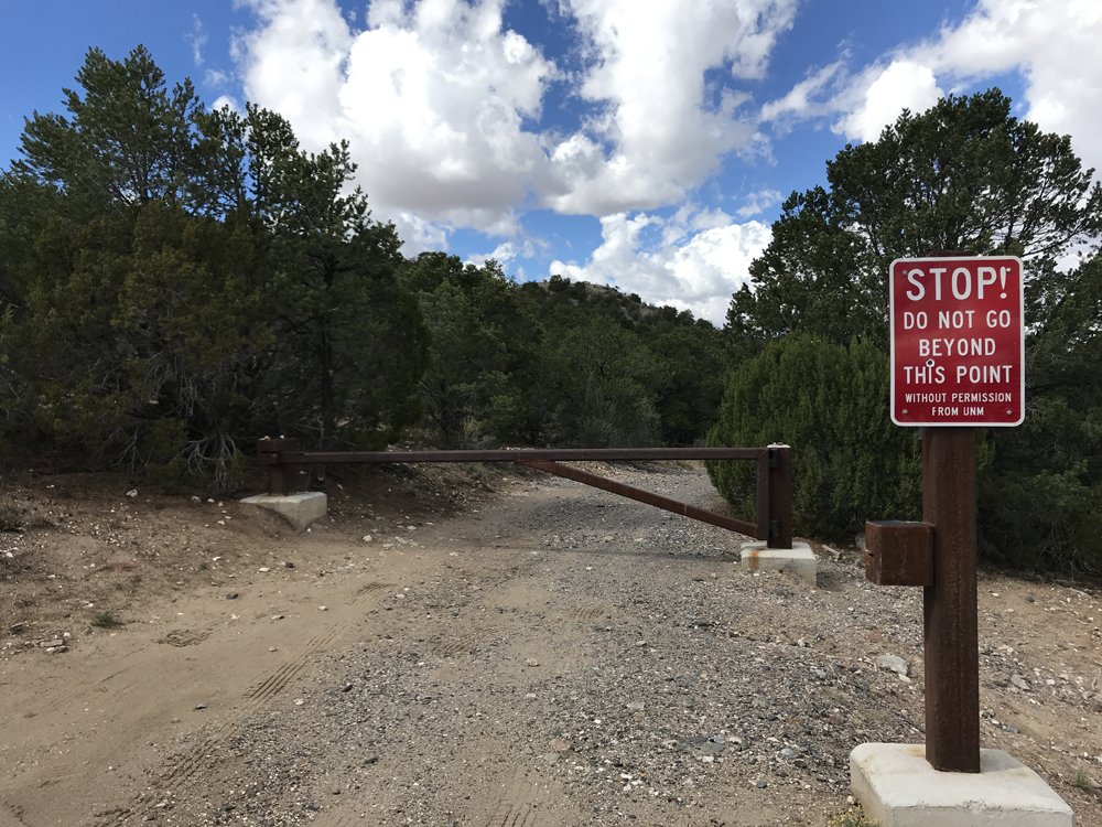
The Harding Pegmatite Mine is a former rare minerals quarry located in Taos County. Now maintained by the University of New Mexico, the Pegmatite Mine is open to rockhounds for no fee. Five pounds of material may be taken provided guidelines are followed. Large groups must pay a fee and they need to call ahead.
Visitors must fill out a release form available at the mine’s website. Follow the University’s instructions exactly as it will be necessary to fetch the caretaker before entering the mine. The road to the first mine gate is short and passable by passenger vehicles. Parking is extremely limited at this first gate. No trailers or RVs. If the gate is open, a larger parking lot is farther along the road.
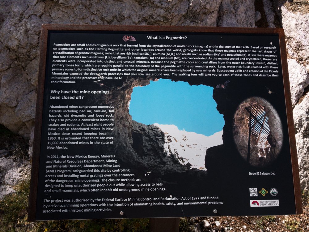
Pegmatites are unusual and interesting rocks igneous rocks, originating from volcanic activity. At the Harding Mine, white sparkling rock is all around, some with pink tints, often with gray or darker inclusions. The pegmatite is the white rock, the various colors and inclusions the minerals. These can be quite unusual, needing an expert to identify them. Bityite, eucryptite, and fluorapatite are some. More common is the pink tinged lepidolite.
A lepidolite tinged rock showing nice pink coloring is a challenging but satisfying project on a warm day in the beautiful hill country of Taos. If possible, bring a short wave and longwave lamp, along with a barbecue lid cover. Hunting fluorescent rocks enlarges searching beyond what appears in daylight.
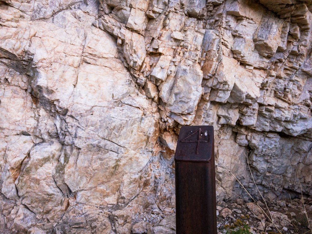
Print the “Walking Tour for the Harding Pegmatite Mine” file before visiting. It references the numbered markers that are spotted about the quarry.
If possible, a tour of the old quarry should start at the University of New Mexico in Albuquerque in Northrop Hall, home to UNM’s Department of Earth & Planetary Sciences. A museum in Room 124 displays specimens from the mine. A dimly lit case on the first floor also exhibits specimens, including a large chunk of beryl. In that case, notice how one rock seems to intergrade with others. The rose muscovite, the lepidolite, and the spodumene all seem variations on a theme. What’s not obvious is the sparkling nature of some of the rocks, which comes into play in bright light.
The mine’s entrance off Highway 75 is on a strong uphill grade and is difficult to find. There is no sign indicating the mine road, save for a small wood plaque on a juniper asking people to pack out their trash. On a fair day, you will be caught up in looking at the surrounding countryside. This is the land D.H. Lawrence fell in love with and you will, too.
36°11.890′ N 105°47.346′ W
This link is for the mine tour.pdf and the release form:
http://epswww.unm.edu/harding-mine/
The Taos hill country is populated with artist studios, wineries, and scattered Indian Pueblos. Cottonwoods in the fall blaze yellow along streams and other watercourses. It is a delight in fair weather. Iceland spar may still exist in the area, check Mindat.org for possible locations and MyLandMatters.org for land status. — https://www.instagram.com/tgfarley/ Follow me on Instagram: tgfarley
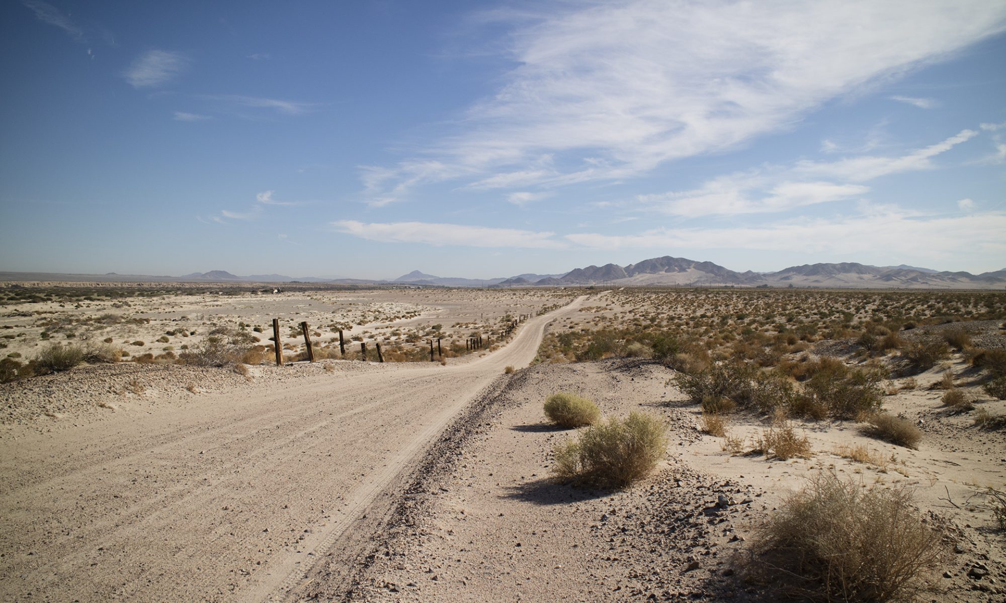
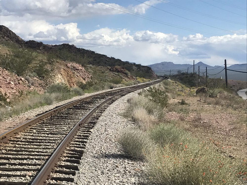
Why the link to my other site? I’m posting some of my outings to my writing website to try to introduce people to rockhounding. https://thomasfarleyblog.com/2020/03/27/railroad-pass-clark-county-nevada/
—
https://www.instagram.com/tgfarley/ Follow me on Instagram: tgfarley
— — I stumbled upon this old navigation aid for pilots near Jean. After some research on the web, I found arrows like this are scattered across the country. They were used along with beacons to help pioneer mail delivery by air in the 1920s and 1930s. The website below is fascinating. Lists arrows in every state along with many details. Tons of photos of arrows and their history. Do you have one in your backyard?
http://www.dreamsmithphotos.com/arrow/
A little from that website:
“These giant arrows were called Beacon Stations and helped guide the pilots of early airmail flights across the nation. They were at the base of 50 foot skeleton towers that had a 24″ or 36″ rotating beacon and in the early days painted Chrome Yellow. Where electicity was unavailable they had a generator shed on the feather end of the arrow to power the beacon. The site number was painted on one side of the roof of the shed, the other side had the airway.They pointed to the next higher numbered beacon station, directing the pilot along his route. All arrows pointed east on the west-east airways and north on the south-north airways. They were built between December 1926 and November 1932, when metal arrows became the standard.” — — Quick handheld iPhone photography, apologies. Rock found in desert wash. On the left, the rock glows orange (calcite), green (quartz) and a little bit of white from an unknown mineral coating. This under short wave. On the right, the green and white disappear completely under long wave while the orange stays strong. — Follow me on Instagram: tgfarley