Almost got to the Barnett Prospect but the terrain, time, and not enough water defeated me. I could see the area from the furthest point I reached, only .14 miles away. Yet another five hundred feet of gain. Too much.
I am now taking prescription medicine for my leg and I now have a referral for physical therapy. Perhaps with work I can hike like I used to. Or something similar. Those 4,000 foot gain hikes, though, are probably done. Goodbye Mount Diablo and Pyramid Peak! They were always too much work, anyway.:-)
View this post on InstagramThe leading report says this, Barnett Prospect The Barnett prospect is located on top of a precipitous ridge in the northern part of the study area approximately 2.5 mi south of the Nancy Ann mine (fig. 2). The prospect is accessible by a foot trail from Chicago Valley. A trench was dug in a 2-ft-thick gossan zone of dark-red to brown limonite, geothite, and remnant galena in massive Ely Springs Dolomite. A grab sample collected from a 1-ton-stockpile of galena-bearing gossan material contained 31 percent lead and 19.75 oz/ton silver. However, chip samples collected across the gossan zone contained only 0.05 to 2.6 percent lead and 0.02 to 0.22 oz/ton silver. Two pits and a 29-ft crosscut adit were found in a dark-red clay bed sandwiched between massive dolomite beds. The clay bed is as much as 6 in. thick and was traced for 80 ft along strike. Samples of the clay contained 0.15 to 7.8 percent lead and 0.02 to 0.44 oz/ton silver. Because high concentrations of silver and lead in a clay bed are unusual, it deserves further study. The bed displays no shearing or discordance to indicate that it is a fault gouge, and does not show any evidence of hydrothermal alteration. The identified silver and lead occurrences are too small to constitute a resource.#geology #geologyrocks #mining #inyocounty#nopah#rocks#silver#lead#exploring#getoutside#mojave#mojavedesert #explore#mines#rockhounding#geologistonboard
—
View this post on InstagramEasy part is done. #geology #geologyrocks #mining #inyocounty#nopah#rocks#silver#lead#exploring#getoutside#mojave#mojavedesert #explore#mines#rockhounding#geologistonboard
—
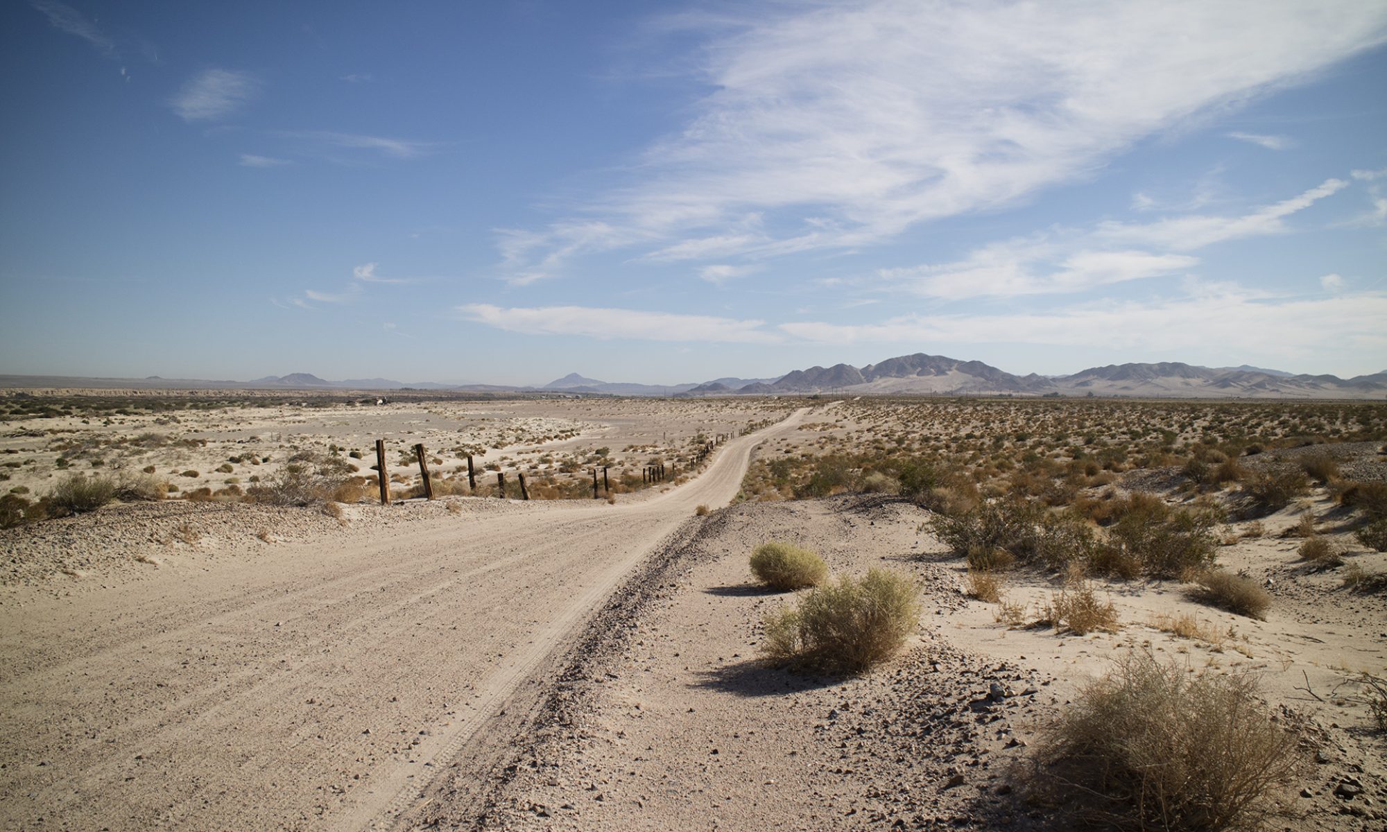
View this post on InstagramA trail appears shortly. Beautiful country in the morning. I always plan to get back to my vehicle by noon if the temp is going to hit 100 for the day. #geology #geologyrocks #mining #inyocounty#nopah#rocks#silver#lead#exploring#getoutside#mojave#mojavedesert #explore#mines#rockhounding#geologistonboard
—
View this post on InstagramTrudge, trudge, trudge. #geology #geologyrocks #mining #inyocounty#nopah#rocks#silver#lead#exploring#getoutside#mojave#mojavedesert #explore#mines#rockhounding#geologistonboard
—
View this post on InstagramThis would have been a helicopter 🚁 mine. Still, like we say with gold, find it first and figure the rest out later. #geology #geologyrocks #mining #inyocounty#nopah#rocks#silver#lead#exploring#getoutside#mojave#mojavedesert #explore#mines#rockhounding#geologistonboard
—
View this post on InstagramLow on water, short on time. Made a shaky phone call with my SatFi-2 and sent text and email to a friend with my SpotX. The canyon walls made fixing on the satellites lengthy but I got my location sent out. The SpotX has any easy way to send out coordinates, the recipient gets the location and then can click on the link to call up Google Maps. Left a little litter here and their in case an SAR team had to go in. #geology #geologyrocks #mining #inyocounty#nopah#rocks#silver#lead#exploring#getoutside#mojave#mojavedesert #explore#mines#rockhounding#geologistonboard