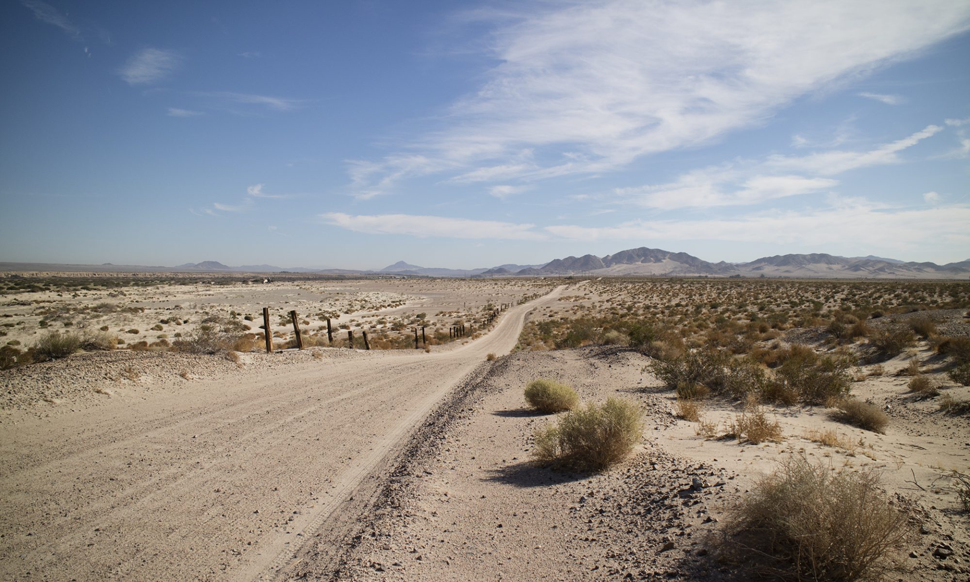
View this post on InstagramUp the hill. 1983 USGS topo shows this road leading to “Prospects” which are exploratory diggings. Well financed group to do this kind of road building. #geology #roadtrip #rockhound #hiking #inyocounty#shoshone#inyocounty
—
View this post on InstagramDesert heat had me lapsing into poetry. Bad sign marking certain fatigue. Mining here is fairly recent, after all, four claims filed in 1981. I am now at my desktop looking into what they were looking into. #geology #mining #desert#mojave#inyocounty#rocks#mines#explore#getoutdoors#shoshonecalifornia
—
View this post on InstagramFurther up the hill. Still no clues. #mining#geology #geologyrocks#tecopa#shoshone#desert#mojave#inyocounty#madness#hiking #explore#rocks
—
View this post on InstagramNo quartz despite what I said in the video. False hopes and poorly correcting sunglasses. All lode claims were located by Paul J Flannery in 1981 in Inyo County. They were the 'YELLOW DAISY', the 'VALENTINE', the 'SUNRISE' and the 'SUNSET. Closed in 183, possibly due to no luck or the move of the Resting Springs Range into Wilderness status. I thought this was the North Nopah WA but was mistaken. Haven't determined what they were looking for, I am going to look at my reference samples tonight to see if I can figure this out. Macrostrat.org's overview of these rocks says, Name: Cambrian marine rocks Age: Neoproterozoic - Middle Devonian (1000 - 382.7Ma) Stratigraphic name(s): Bonanza King Formation; Bright Angel Shale; Cadiz Formation; Campito Formation; Carrara Formation; Chambless Limestone; Cornfield Springs Formation; Goodsprings Dolomite; Harkless Formation; Latham Shale; Lead Gulch Formation; Lotus Formation; Monola… Lithology: Major:{sandstone,dolostone}, Minor:{mudstone,limestone,quartzite}, Incidental:{conglomerate, siltstone, chert} Description: Sandstone, shale, limestone, dolomite, chert, quartzite, and phyllite; includes some rocks that are possibly Precambrian I'd have to look at the USGS geologic map for this area to get a clue as to minerals. Minerals not always listed or very lightly treated. This is not the end of the road as I was to find.#geology #geologyrocks#inyocounty#mining#explore#getoutdoors#mojavedesert#restingspringsrange #rocks#minerals
—
View this post on InstagramThe real end of the road. Lots of red colored deposits on some rocks but I don’t know what that means. Those adits were done by pick. They must have found something to warrant road building. #geology #roadtrip #rockhound #hiking #geologyrocks#explore#getoutdoors#mohave#mojave#desert#inyocounty#shoshone#mining
—
View this post on InstagramI did find something valuable. This, by, the way, is the Resting Springs WA. #desert#mojave#inyocounty #mining #rocks #geology#mines#minerals#explore#restingspringsrange
—