View this post on InstagramDetails to follow in a few hours. #geology#geologyrocks #geologistonboard #rocks#mines#history#explore#inyocounty#pahrump
—
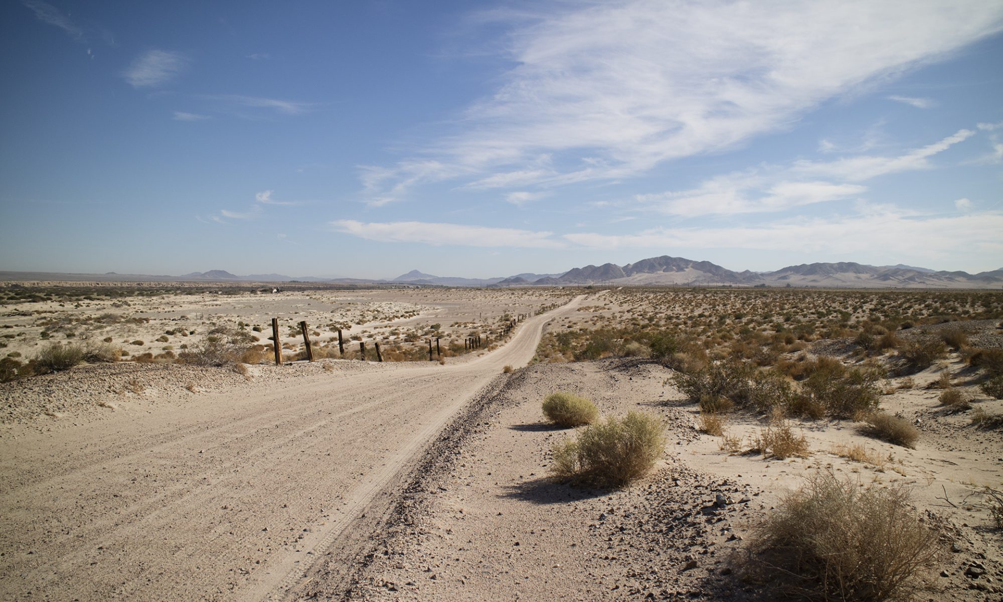
View this post on InstagramOld but well shouldered road leads on. This is on the other side of the hill that makes up the south wall of the canyon I visited last. BLM has this mine mapped, calling it the Shaw Mine. Mindat says that is one of many names used in the area. Topozone shows the location on an older USGS topo. Nothing showing on the map about any mine in the canyon. That will take going to the USGS store to see if a much older USGS map shows what was happening there. I am walking on this road past the several hundred yard section that has been completely destroyed by floods. There are a few two rock cairns to guide you. #geology #geologyrocks#limestone#nyecounty#mines#minerals#lead#zinc#silver#nopahwilderness#pahrump
—
View this post on InstagramAn old gaging station in this dry mountain stream (not indicated on the topo I am looking, and they usually are, and the first sign of digging. #nopah#nopahwilderness #geology#geologistonboard#minerals#mines#explore#wildernessareas#getoutside#usgs#maps#travel
—
View this post on InstagramBest to look over the dumps. Although I did walk a few feet later into what was a short, level tunnel. #Inyocounty#mines#stayoutandstayalive#geology#rocks#adventure#nopahwilderness#pahrump#history#minerals#lead#zinc#silver#desert#mojave#mining#
—
View this post on InstagramWhat I collected today isn’t showing much promise but I have some other ideas. #Inyocounty#mines#stayoutandstayalive#geology#rocks#adventure#nopahwilderness#pahrump#history#minerals#lead#zinc#silver#desert#mojave#mining#rockhounding#fluorescent #
—
View this post on InstagramNo comments please. I see I photographed mostly tunnel wall. Best to look over the dumps. Although I did walk a few feet later into what was a short, level tunnel. #Inyocounty#mines#stayoutandstayalive#geology#rocks#adventure#nopahwilderness#pahrump#history#minerals#lead#zinc#silver#desert#mojave#mining#
—
View this post on InstagramNot sure if the matrix but I think this is anglesite, a lead sulfate. I’ve seen it at Goodsprings, same limestone hills. Cameras can’t capture sparkles in a static shot, you have to move the object or go out of focus. I’ve written way too much on this. Beautiful rock lined with crystal lined cavities. Macro photography work. #mines#rocks#minerals#lead#inyocounty#
—
View this post on InstagramLeaving the area. #caves#limestonehills #canyons#mines#mining#exploring#minerals #geology #inyocounty
—
View this post on InstagramI sound depressed, I’m just tired. And I should have said a deposit of calcite, not calcite by itself. These rocks were picked up at random in broad daylight. I mention the Convoy Dragonfly. Great portable lamp. Take it fully charged and have spare batteries. Long wave. The majority of fluorescent material shows up under SW, nevertheless, this will give you a good idea of an area’s potential if you have to hike in to a collecting spot. This is iPhone photography of course so colors and brightness are only partially true. I’ll show off some more interesting rocks (non-UV), later on. #geology#rocks#ultravioletlight #fluorescentminerals #nopahwilderness#inyocounty#pahrump#explore#outdoors#mojave#desert